Udall Center for Studies in Public Policy hosts inaugural workshop for federal agencies
On May 11, Udall Center, in partnership with the Udall Foundation, hosted the first ever workshop on use of geospatial tools for public participation.
May 24, 2022
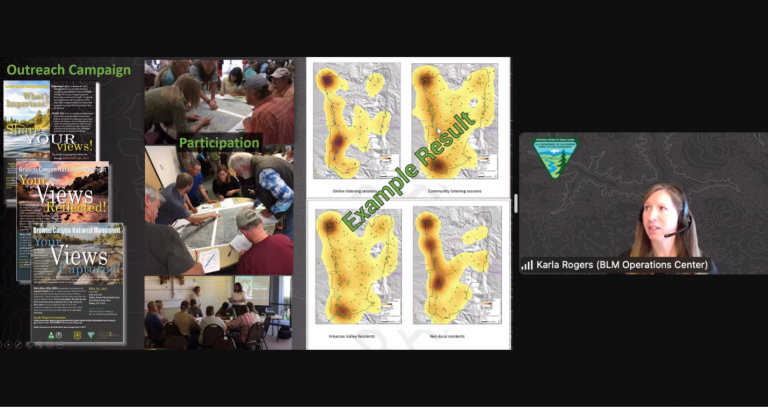
Recent events, including the Covid-19 pandemic and social, economic, and political polarization and disruptions, require a rapid pivot to new approaches, policies, and attitudes related to coordination and communication among very diverse and divided constituencies. In recent years, online public participation has grown as government entities seek ways to more effectively engage diverse stakeholders. Online geospatial tools and methods constitute one aspect of this effort to consult with affected constituencies.
Although federal agencies have been experimenting with and adopting geospatial tools for almost a decade now, the use of online geospatial instruments and techniques as a means to enhance public participation is not well understood. Federal natural resource and environmental agencies have indicated a desire to better understand what geospatial tools and methods other agencies are adopting and how they are working. At the same time, researchers studying public engagement and the role of technology in environmental governance could benefit from better understanding practical experiences with online geospatial tools to help inform and shape future research agendas and policy recommendations.
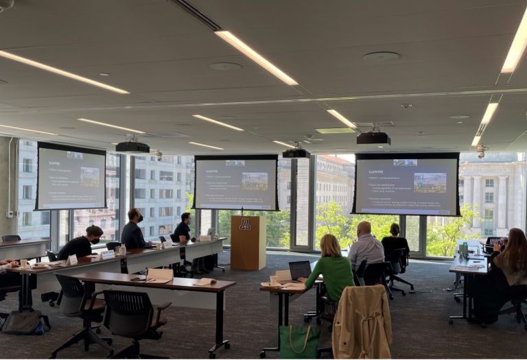
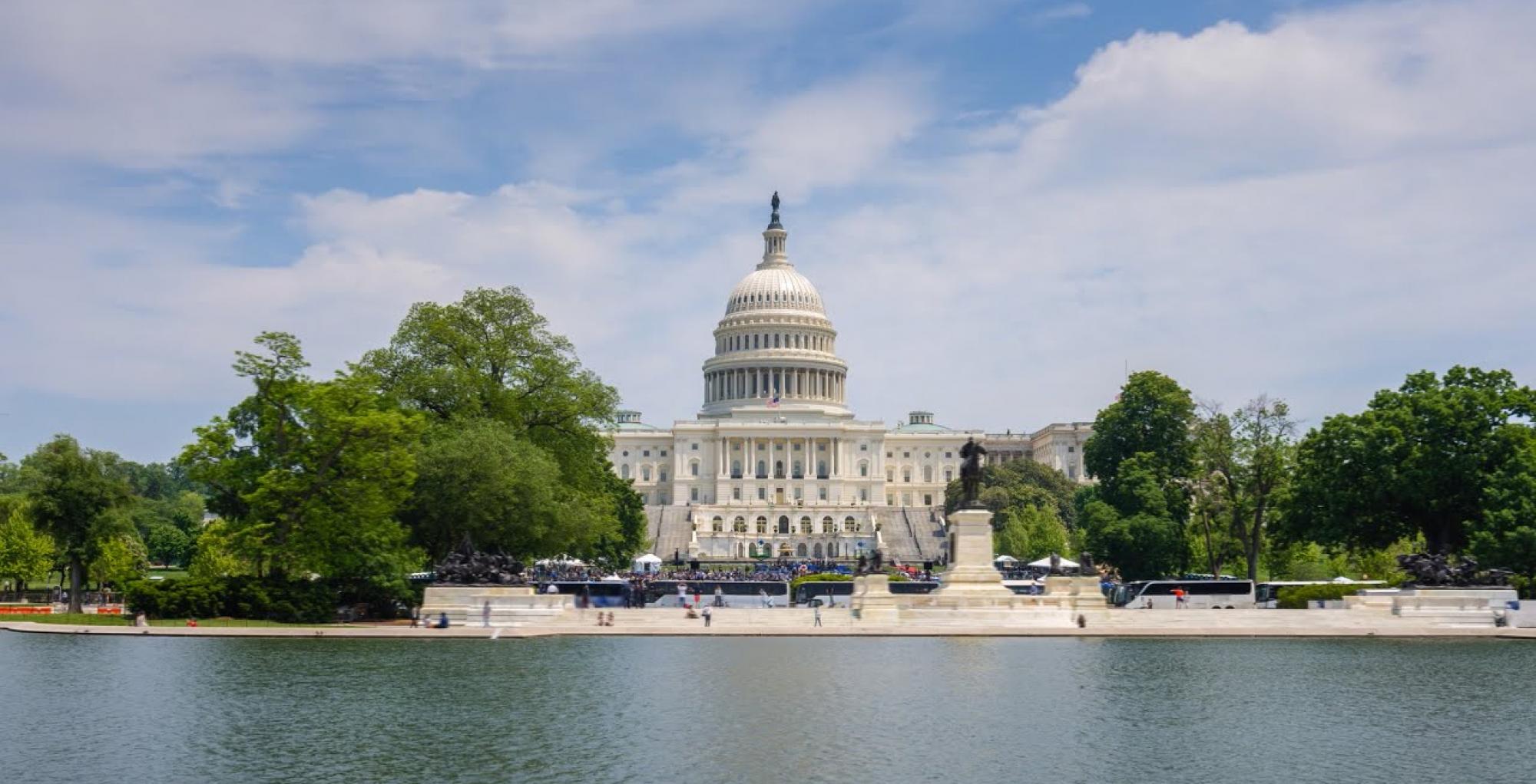
On May 11, Udall Center for Studies in Public Policy (Udall Center), in partnership with the Udall Foundation’s National Center for Environmental Conflict Resolution (NCECR), hosted the first ever workshop in the United States focused on federal agency use of geospatial online tools for public participation. Funded through an RII Workshop Grant, the fully hybrid workshop was held at the UArizona Washington DC Center for Outreach & Collaboration. Titled “Mapping the Way Ahead: Geospatial Online Means for Public Participation,” this workshop included representatives from over a dozen federal agencies with environmental and natural resources responsibilities, researchers, and representatives from industry and alternate dispute resolution organizations to assess the state of the art as well as chart the way ahead regarding online geospatial means for public participation in environmental governance.
The workshop is expected to reap two overall benefits: (1) the development of a community of federal and academic representatives invested in appropriately developing the use of online geospatial means for public participation; and (2) the outline for a research agenda around online geospatial tools to support effective public participation in environmental governance. The Udall Center and NCECR have significant expertise in environmental stakeholder engagement processes, such as Dr. Andrea Gerlak, who headed the workshop planning team, and Dr. Kirk Emerson, who played a key role in the workshop, thus making UArizona uniquely well-placed to head this important effort. Drs. Fernando Sánchez-Trigueros (Assistant Professor, School of Geography, Environment & Development), Ladd Keith (Assistant Professor, College of Architecture, Planning and Landscape Architecture) and Julie Minde (Udall Center Postdoctoral Research Associate) also provided instrumental support to the event.
Tags
Subscribe to the UArizona Impact in Action newsletter to receive featured stories and event info to connect you with UArizona's research, innovation, entrepreneurial ventures, and societal impacts.